Joëlla Buhendwa from the Democratic Republic of the Congo is Gold Winner of the Women in Ag Award 2025 in the category “Farming”. Her objective: "Household Waste Valorization through Black Soldier Fly Larvae Production”.
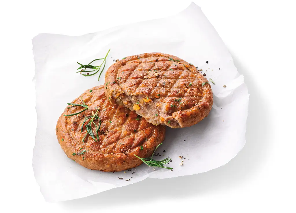
More and more people want to eat less meat. Whilst many of the numerous alternatives – from tofu and tempeh to soya cutlets – offer favorable nutritional value, they generally have a different texture and flavour.